
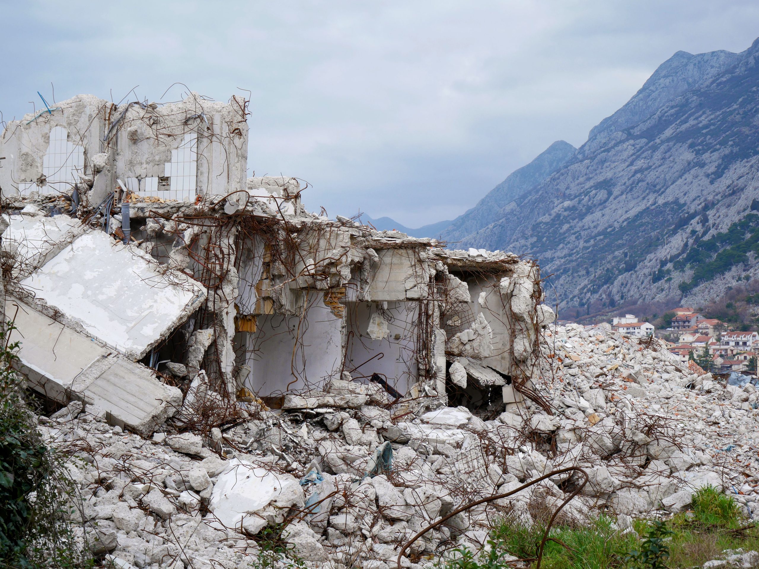
Earthquakes can strike suddenly and with devastating consequences, which is why understanding how to measure their waves is crucial for scientists and researchers. In this article, we will explore the top ten seismology methods used to measure earthquake waves, providing insights into their unique advantages and applications.
Whether you’re a student, a professional in the field of geology, or simply someone eager to learn more about seismic activity, this guide will help you discover the most effective methods for capturing and analyzing earthquake waves. Let’s dive into these essential techniques!
1. Seismometers – Best for Accurate Wave Measurement
Seismometers are instrumental devices that detect and record the motion of the ground. They are highly sensitive and can measure even the tiniest vibrations caused by seismic waves.
Key Features:
- High sensitivity
- Multiple types (e.g., digital, analog)
- Can measure various types of seismic waves
Pros:
- Provides detailed data on waveforms
- Used in seismological research and earthquake engineering
- Durable and reliable
Cons:
- Can be expensive
- Requires calibration
- Some models are bulky
2. GPS Stations – Best for Monitoring Ground Movement
Global Positioning System (GPS) stations are increasingly used to track ground movements associated with seismic activity, providing real-time data on tectonic shifts.
Key Features:
- Real-time data transmission
- High precision
- Can analyze both horizontal and vertical movements
Pros:
- Helps to assess strain accumulation
- Wide coverage area
- Compatible with other geodetic techniques
Cons:
- Requires extensive infrastructure
- Can be affected by atmospheric conditions
- High initial setup cost
3. Strong Motion Sensors – Best for Building Safety
Strong motion sensors are designed to capture data during intense ground shaking. They are crucial for engineering and retrofitting buildings to improve their earthquake resilience.
Key Features:
- Designed to withstand extreme conditions
- Fast response time
- Data can be transmitted quickly
Pros:
- Essential for evaluating building performance
- Widely used in structural health monitoring
- Can help mitigate earthquake risks
Cons:
- Can be costly to install
- Requires expertise for data interpretation
- Limited to nearby seismic events
4. Microseismic Monitoring – Best for Subsurface Analysis
Microseismic monitoring harnesses the power of low-frequency seismic waves to study subsurface geological formations, aiding in resource exploration and earthquake risk assessment.
Key Features:
- Detects small seismic events
- Can identify weak zones in geological formations
- Integrates with other geophysical techniques
Pros:
- Provides insights into geothermal and hydrocarbon reservoirs
- Helps in monitoring hydraulic fracturing processes
- Low operational costs
Cons:
- Less effective for large earthquakes
- Data interpretation can be complex
- Limited to specific locations
5. InSAR (Interferometric Synthetic Aperture Radar) – Best for Broad Area Monitoring
InSAR uses radar images to detect changes in land elevation caused by seismic activity. This remote sensing method is ideal for monitoring ground deformation over large areas.
Key Features:
- Can cover extensive regions efficiently
- High-resolution data
- Monitors changes over time
Pros:
- Effective for detecting subsidence and uplift
- No physical installation required
- Useful for assessing landslide risks
Cons:
- Requires sophisticated data processing
- Limited to surface-level changes
- Can be affected by vegetation or other obstacles
6. Teleseismic Data Analysis – Best for Long-Distance Detection
Teleseismic methods utilize data from distant seismic stations to analyze powerful earthquakes. This technique allows scientists to study seismic waves traveling through the Earth’s layers.
Key Features:
- Utilizes global seismic networks
- Can analyze deep Earth structure
- Helps in understanding earthquake origins
Pros:
- Offers insights into Earth’s inner structures
- Effective for monitoring large-scale events
- Low operational costs due to remote data usage
Cons:
- Limited to high-magnitude events
- Less effective for local site-specific studies
- Requires extensive data filtering
7. Seismic Tomography – Best for Imaging the Earth’s Interior
Seismic tomography is a sophisticated technique that uses seismic waves to create detailed images of the Earth’s interior structure, similar to a CT scan in medical imaging.
Key Features:
- Produces 3D models of subsurface structures
- Can identify fault lines and magma movements
- Integrates data from multiple seismic sources
Pros:
- Helps in identifying earthquake-prone areas
- Enhances understanding of geological processes
- Useful in natural resource exploration
Cons:
- Data acquisition can be time-consuming
- Requires advanced computational resources
- Complex interpretation of results
8. Surface Wave Analysis – Best for Shallow Earth Studies
Surface wave analysis focuses on the waves that travel along the Earth’s surface, providing valuable information about the near-surface materials and conditions.
Key Features:
- Highly effective for shallow site investigations
- Can help predict building response to earthquakes
- Uses ambient noise measurements
Pros:
- Relatively low-cost measurement technique
- Non-invasive and quick data collection
- Helpful in assessing geotechnical properties
Cons:
- Less effective for deeper seismic characterization
- Requires specific site conditions for accuracy
- May be influenced by local noise sources
9. Ambient Noise Analysis – Best for Local Seismic Activity
Ambient noise analysis leverages the natural vibrations of the Earth’s surface, even in the absence of seismic events, to study the subsurface structure and monitor changes over time.
Key Features:
- Utilizes existing background noise
- Continuous monitoring capability
- Suitable for various geophysical applications
Pros:
- Low-cost and passive method
- Efficient for various environmental conditions
- Provides real-time data
Cons:
- Results can be variable depending on noise levels
- Requires sophisticated data processing
- Less effective for detecting larger seismic events
10. Seismic Reflection and Refraction – Best for Detailed Subsurface Imaging
Seismic reflection and refraction techniques involve analyzing how seismic waves behave as they encounter different geological layers, providing detailed images of subsurface structures.
Key Features:
- High-resolution imaging capabilities
- Effective for oil and gas exploration
- Can identify geological formations and hazards
Pros:
- Great for resource exploration
- Detailed and informative results
- Widely used in engineering and environmental studies
Cons:
- High operational costs
- Requires complex data processing
- Not effective in all geological conditions
How to Choose the Right Method for Measuring Earthquake Waves
When selecting a seismology method, consider the specific objectives of your study, the scale of the area affected, the available budget, and the required data resolution. Satellite-based methods are suitable for broad area assessments, while local networks are better for detailed studies. Understanding your project’s scope will help you choose the most effective technique.
#EarthquakeScience #Seismology #SeismicWaves #Geophysics #EarthquakeResearch #SeismicMonitoring #NaturalDisasters #GeologicalSurvey